Back
Landslide Lake offers breathtaking views on Vancouver Island hike

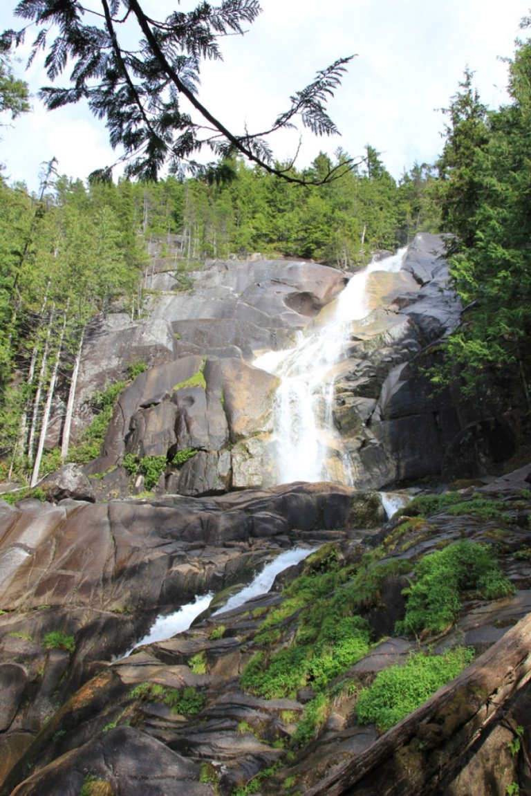
Cradled below towering mountains at the centre of Vancouver Island is a lake whose name tells the landscape's history.
Landslide Lake caught the face of one the Island's tallest mountains when a magnitude-7.3 earthquake shook it loose in 1946.
"The northeast slope of (Mount) Colonel Foster fractured off and fell into the lake. And the lake subsequently had a tsunami, or a big wave, that hurdled down the whole valley and took a whole bunch of trees or vegetation with it," said Marlene Smith, co-founder of Friends of Strathcona Park.
Today, hikers can climb up the smooth rock face left by the wave's path to reach the lake's icy, teal waters.
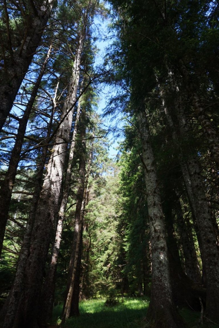
Vancouver Island is well known for its coastal trails, but the alpine peaks and mountain valleys at its centre are also lined with day and overnight hikes in Strathcona Park, British Columbia's oldest provincial park.
The journey to Landslide Lake begins at the Elk River Trailhead off Highway 28, between Campbell River and Gold River.
Hikers can stop at the nearby volunteer-run Strathcona Wilderness Institute for information about the park.
While experienced hikers can do the 26-kilometre round trip hike in about nine hours, Smith recommends packing a tent and making it an overnight adventure. An average hiker will take four to six hours to reach the campsite, which is another hour or two from the lake.
"It's a beautiful trail, which is hikeable for almost all ages, although you have to be reasonably fit, because it's quite long," Smith said.
From the trailhead, a wide path meanders through old-growth stands of Douglas fir, hemlock and cedar. The toughest parts of the trek are its first and last sections, with a total elevation rise of 600 metres.
The trail mostly parallels Elk River, which is prone to gush when there's too much rain, snow or glacial melt. There is also an avalanche risk in winter and early spring.
That makes July and August — the driest months — best for a visit, although hikers often make their way through between late spring and early fall.
"Bridges and parts of the trail are prone to flood, so I always recommend people check to make sure it is not flooded, but accessible," Smith said.
Matthew Lettington, president of Island Mountain Ramblers, also warned hikers to plan their trips before they start, since cellular and satellite reception is spotty in the park.
He first visited the trail about eight years ago.
"I was surprised how deep between the mountains we were. There are sections in there, still, where we'll lose our GPS signals because the mountains are so tall. It's called a 'box canyon,'" Lettington said.
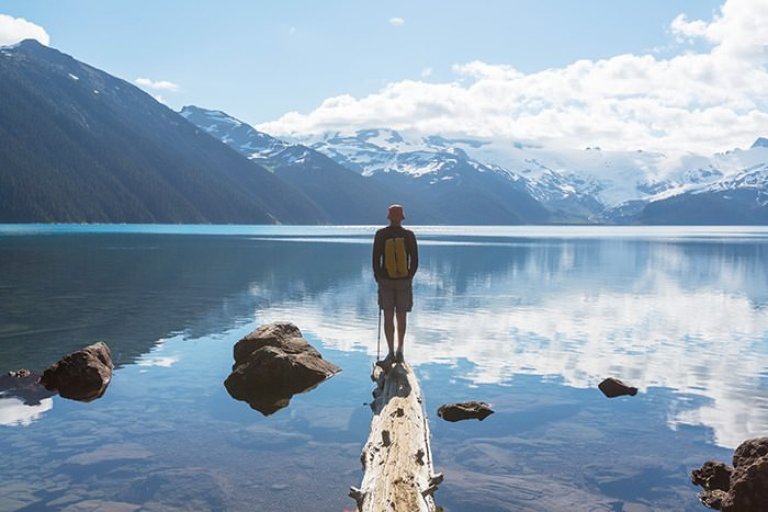
For those interested in extending the adventure, a more rugged trail along the eastern edge of Landslide Lake leads to another turquoise, glacial lake known colloquially as Berg Lake.
Little icebergs may float at the surface or it may be frozen over, depending on the time of year.
Ice caves also form along its edge, but enter at your own risk, as they're prone to collapse.
"Those aren't there every year. Sometimes you have heavy, heavy snow and hard winters that persist into September. Other years, there may be no snow accumulated in those place, so it's always changing," Lettington said.
_____
If you go...
— A ferry from either Tsawwassen or Horseshoe Bay in the Lower Mainland will get you to Nanaimo. Head north on Highway 19 to Campbell River, then west on Highway 28 toward Gold River. Park at the Elk River Trailhead.
— Campsites are available at Butterwort Flats (six kilometres in) and the upper gravel bar campsite (nine kilometres in). No camping is available at Landslide Lake.
— For general information, stop at the Buttle Lake information hut, located 300 metres past the bridge for the Gold River turn off. Hours Vary. Contact Strathcona Park Wilderness Centre by phone at: (250) 897-1507.
By: Times Colonist
GuidedBy is a community builder and part of the Glacier Media news network. This article originally appeared on a Glacier Media publication.
Guided By
Location
Topics
Related Stories
-
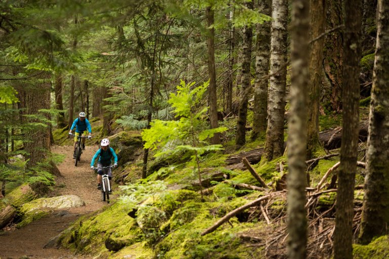
Local Attractions Whistler
Top Summer Activities in Whistler
The snow is melting, the birds are chirping, and the flowers are starting to bloom. Sumemr has finally arrived in Whistler! If...
-
Beauty & Wellness
Summer Hikes in Vancouver: A Detailed Guide
If you're looking for a great way to take in the sights and sounds of summer, consider going on a hike. Vancouver is home to...
-
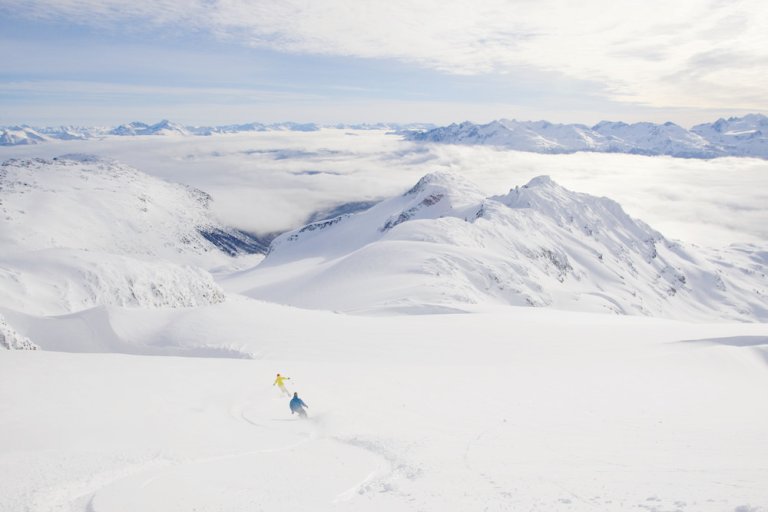
Local Attractions Whistler
Backcountry Bounty
Whistler is bracing for a busy season beyond the ski area boundaries. The backcountry is beckoning like never before as skiers...
-
Cruises
5 ways to experience Desolation Sound
Sponsored Content Go Cruising The 4-night Desolation Sound Wilderness Discovery Cruise is a sensational experience unlike...
-
Local Attractions Vancouver
8 awesome things to do in Whistler besides ski and snowboard
While skiing and snowboarding are a great deal of fun, Whistler offers a plethora of fun activities that you must try. From...
-
Travel Squamish
BC AdventureSmart encourages chasing waterfalls — safely
In her 15 years with the AdventureSmart program, B.C. executive director Sandra Riches said the severity of waterfall-related...
-
Transportation Richmond
Canada has one of the most powerful passports in the world, report finds
The Henley Passport Index has released its third quarter ranking of the world’s most powerful passports and Canada ranked among...
-
Cruises Vancouver
‘Dreams of Tahiti’ cruise one for the bucket list
It’s hard to describe all of the colours of the ocean surrounding the Society Islands, an archipelago in French Polynesia...
-
Local Attractions Vancouver
Escape to Whistler
Handcuffed inside a jail cell, joined by my husband, his daughter and her family, we began a frantic search for the keys we...
-
Hotel
Family-friendly beach destination stretches along the shoreline of the Salish Sea
Once upon a time, when our son was much younger and so were we, there was a quirky, one-building grocery shack with goats...
-
Local Attractions
Luxury and eco-wilderness adventures meet in Haida Gwaii
When I set off for a five-day trip to the new Ocean House Lodge in Haida Gwaii, I was expecting a luxurious eco-wilderness...
-
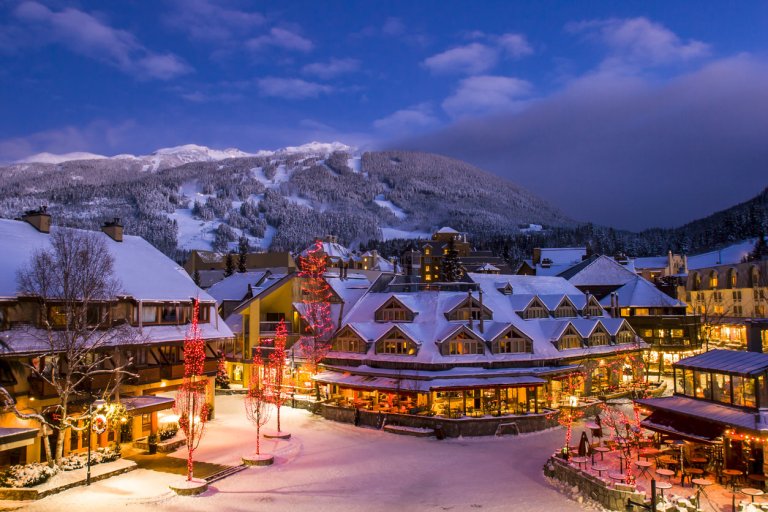
Resorts Vancouver
Meet the one-stop booking experts for Whistler Blackcomb
Sponsored Content While planning a vacation can be a fun and exciting exercise, it helps to know what to do, where to stay,...
-
Tours Vancouver Island
Rome's treasures revealed on foot, by bicycle
Like hordes before us, we entered Rome through its northern gate. We had rented a terrace apartment in an old marble-filled...
-
Cruises
Sailing down the Seine on the ‘Scenic Gem’
Is Benedictine really a secret elixir originally created by a 16th century monk? Or was Alexandre Le Grand, the wine merchant...
-
Tours Richmond
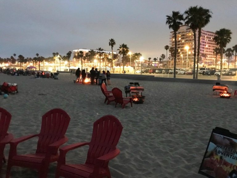
The best of Huntington Beach -- in 36 hours
Set against a backdrop of 10 miles of pristine white-sand beaches, part of the draw of Huntington Beach CA is that...
-
Transportation Vancouver
The ‘Uber’ of private jets? Canadian pilot brings private air travel to the masses
Is it the ‘Uber’ of the private jets? Not exactly — but Jettly, a web and single app charter booking platform that...
-
Local Attractions Vancouver
The ultimate guide to the most remarkable summer hikes and trails in B.C.
If you live in Vancouver, you’re acutely attuned to the changing of the seasons. The cold, wet winters let up slowly: sunny...
-
Local Attractions
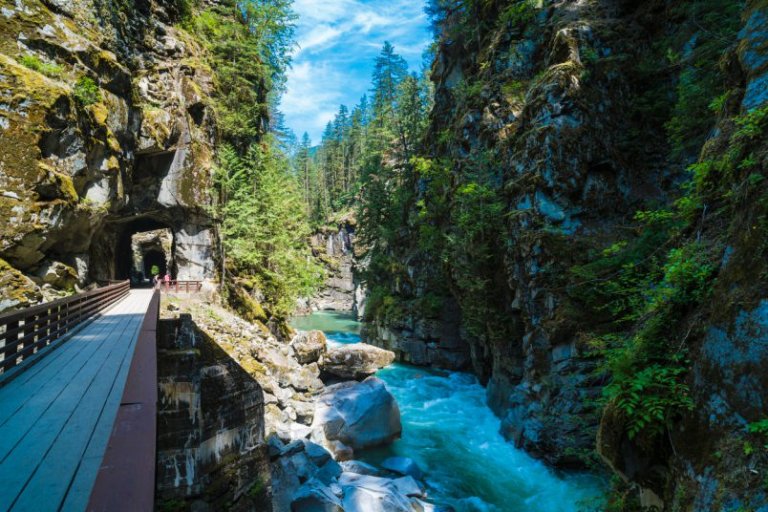
This B.C. hike takes you through a network of mysterious tunnels
Built in the early 1900s, the Othello Tunnels were constructed by the Canadian Pacific Railway to link the Kootenay Region with...
-
Hotel Vancouver
This B.C. hotel ranked #1 in all of Canada
U.S. News & World Report revealed a list of the best hotels in Canada and a B.C. hotel claimed the top spot. Known for...
-
Local Attractions New Westminster
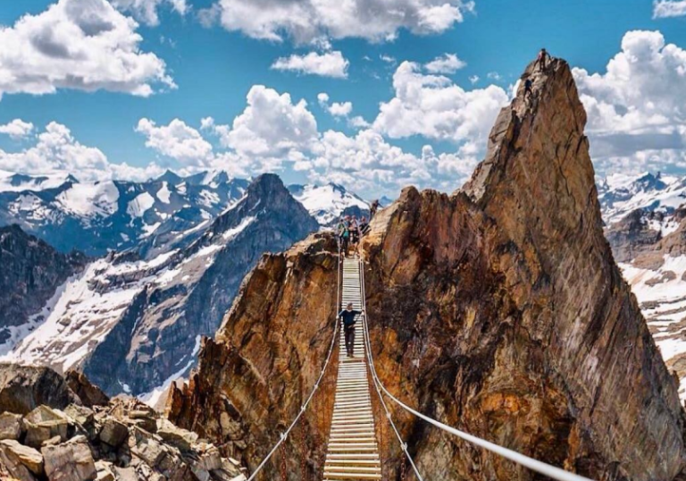
This B.C. suspension bridge soars 2,000 feet high in the mountains
If you feel intense trepidation upon crossing the Capilano Suspension Bridge, the Mount Nimbus Suspension Bridge might not be...
-
Local Attractions
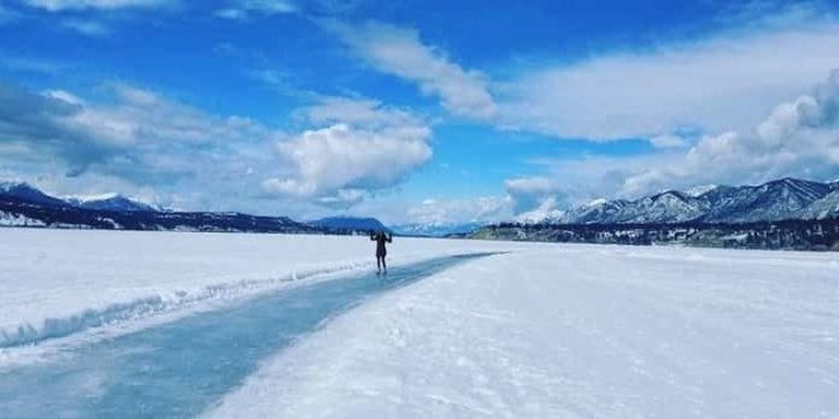
This jaw-dropping frozen lake in B.C. has the longest skating pathway in the world
While it isn’t uncommon for a lake to freeze over in B.C., not all frozen lakes are created equal. Take, for...
-
Hotel Vancouver
Vintage hotels double as city tourist attractions
Hotels that have been around for 80 years or more can cost a fortune to keep in good condition, but owners say they are proud...
-
Family Fun
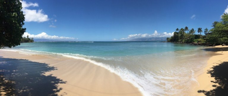
Winter offers a whale of a time on Maui
Maui is a thief, so naturally alluring that only when back home do you realize something is missing in your life. Not...
-
Local Attractions Vancouver
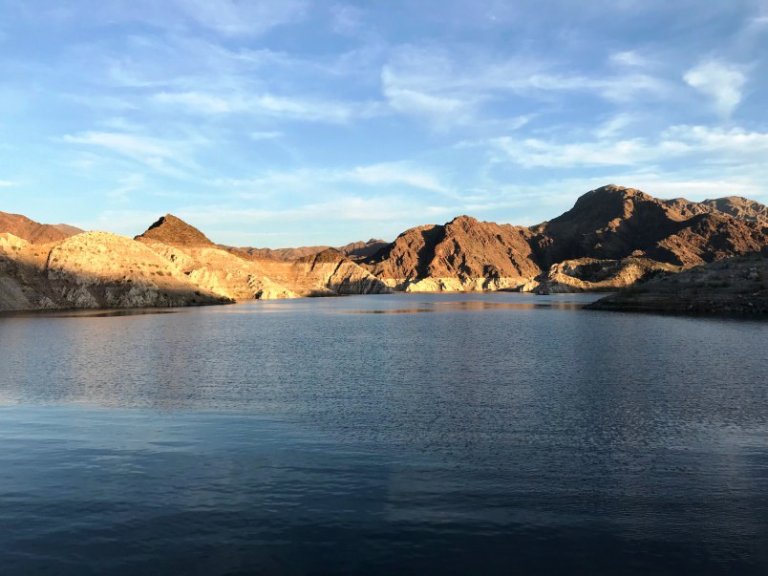
Your guide to houseboating on Lake Mead
Looking up from the top deck of our rental houseboat on Lake Mead, the night sky above us was alive with stars — thanks to a...
-
Local Attractions Vancouver
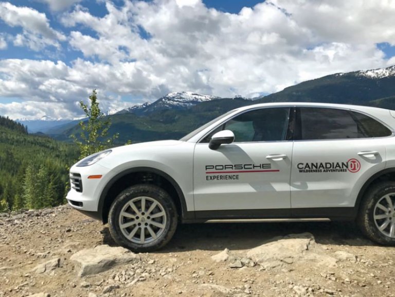
Whistler off-road course unleashes a whole new Porsche
There are few instant images that pop to mind when you put the brands “Whistler” and “Porsche” together. Maybe you’re...
-
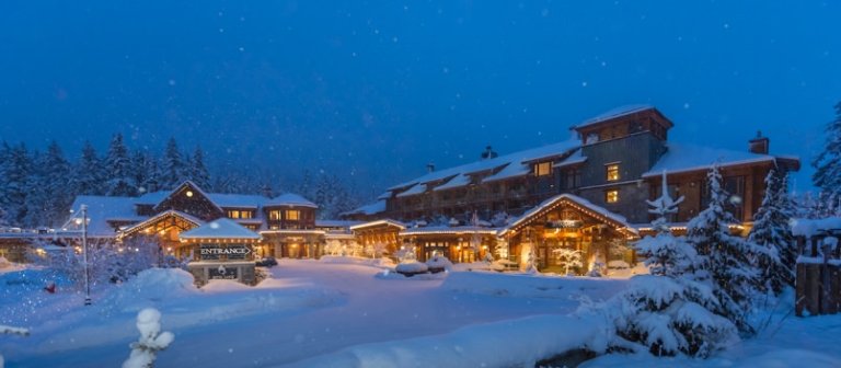
Hotel
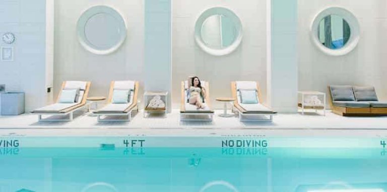
Whistler Wellness
Need to hit the reset button? Head to Whistler. Many of us associate Whistler with exhilarating outdoor activities: skiing...
-
Casinos Burnaby
Profiles of Excellence: Grand Villa Casino Burnaby
Sponsored Content Consider this the treasure map to a hidden gem in the heart of Burnaby and just moments away from downtown...
-
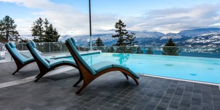
Resorts Okanagan
Weddings at Sparkling Hill in Vernon are no longer a thing
If you’ve thought about having your wedding at Vernon’s Sparkling Hill, you’ll need to find another venue. The resort has...
-
Tours New Westminster
Eat your way through Portugal on a trip with Chef Dez
One of the biggest influences of my career, and what I enjoy the most, is the inspiration and interaction of people. To put...
-
Local Attractions Vancouver
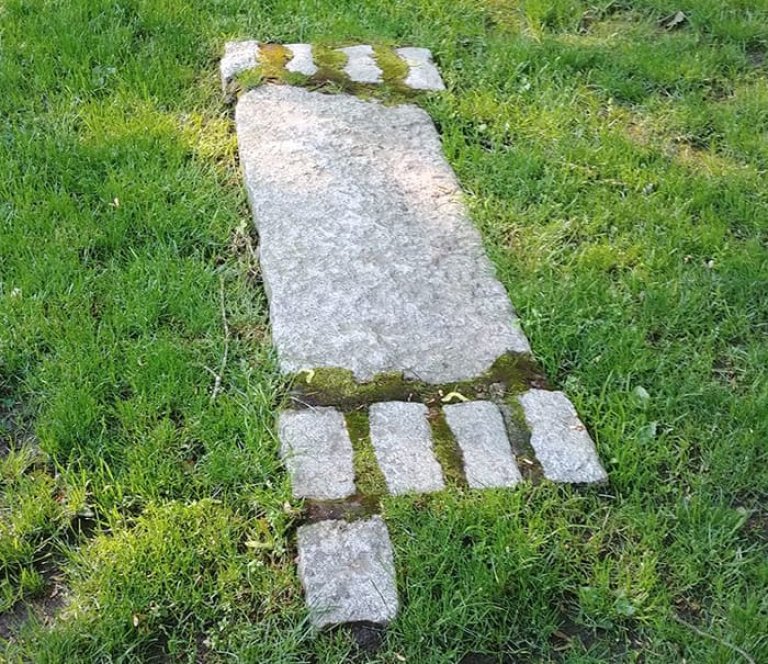
Here’s what these strange granite markers in Kitsilano mean
Kitsilano resident Réjean Beaulieu walks his dog by the intersection of West 11th and Maple Street most days. On one...
-
Local Attractions Vancouver Island
A Luxurious Maritime Weekend in Sooke
This summer, my friend Lucienne and I escaped smog-blanketed Vancouver for a few days in Vancouver Island’s seaside town of...
-
Casinos Burnaby
Burnaby casino restaurant showcases elegant dining room, local ingredients
Sponsored Content In the beautifully appointed Grand Villa Casino and Delta Hotels Burnaby, Atlas Steak + Fish delivers...